Wangduephodrang is the last major western town and the capital of the Wangduephodrang Dzongkhag. The town, located at a similar elevation as Punakha at about 1,250 meters, shares its name with the Dzong built in 1638. Unfortunately, during the afternoon of 24 June 2012 the Dzong was completely razed to the ground by fire. However, all of the historical relics were stored and saved, the brightest spot of a rather dark day for all of Bhutan. It is now being rebuilt to its former glory and is expected to be completed by the beginning of the next decade.
The old town was perched on a spur, over looking the junction of the two rivers below, Wangduephordang Dzong. Bajo town, situated near the banks of the Punnatsang chu (combination of the Mo Chu and Pho Chu of Punakha) is now the new town of Wangdue Dzongkhag. In the 17th century, Wangduephordang played a critical role in unifying the western, central and southern Bhutanese regions.

Phobjikha
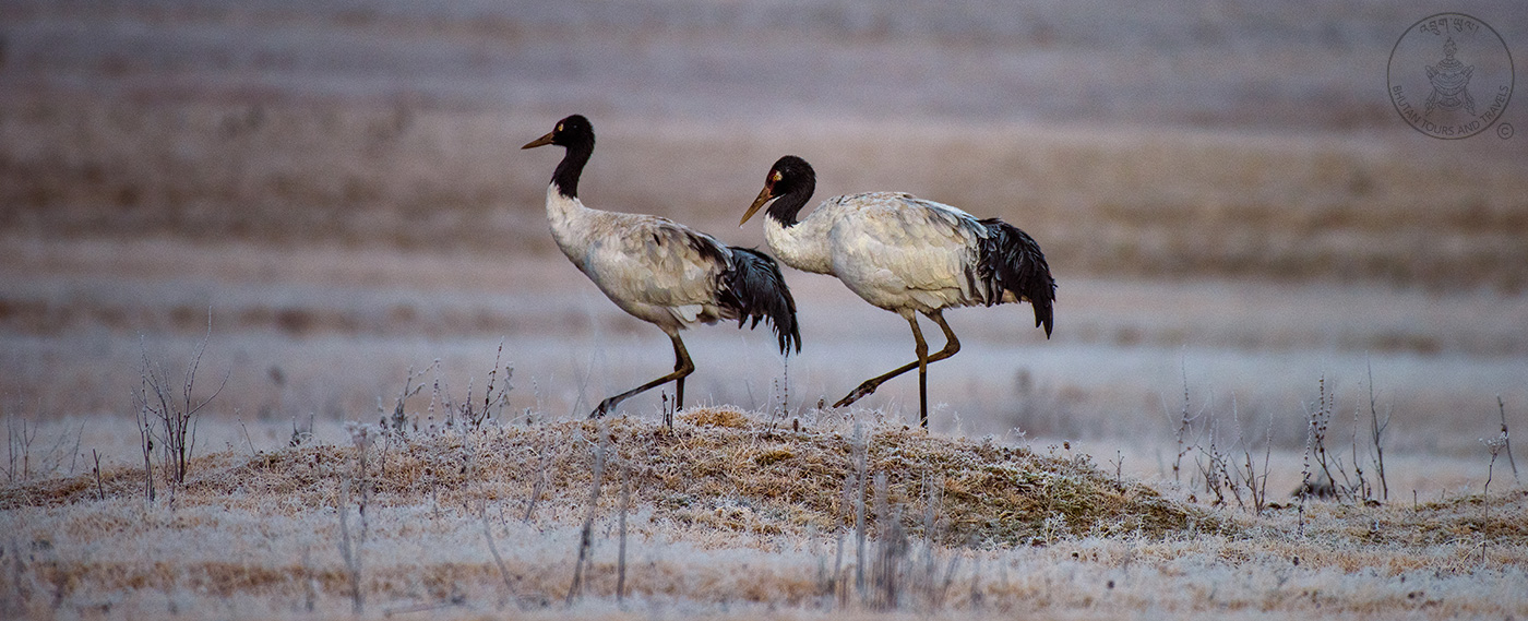
As you drive past the reconstruction site of the Wangdue Dzong on the east-west highway, about 15 minutes before crossing the Pele la pass, is a junction which leads into Phobjikha valley. A beautiful signboard at the junction welcomes you, proclaiming Phobjikha as the valley of the Black Necked Cranes. Overlooking the marshy valley is the Gangtey Goenpa, an old monastery dating back to the 17th century. The Goenpa, resembling a small Dzong is an important institution in the Ningma tradition of Buddhism.

The small stream that meanders through the valley floor is a rich habitat for trout and other insects. These are what the Black Necked Cranes forage on, when they come here to escape the harsh winters of the Tibetan Plateau. These birds make the valley floor their home for about 4 months (November – February) before flying north once again.
