Recommended Season: March to May, October to December
Maximum Elevation: 4000 meters
Difficulty: Easy
Bhutan’s very own camino stretching the width of the country.
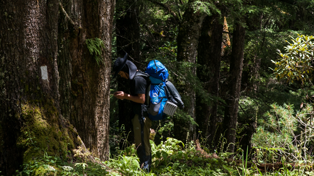
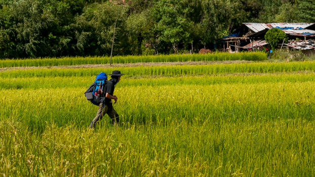
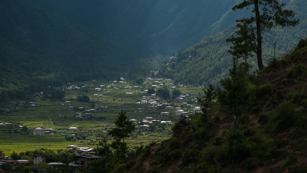
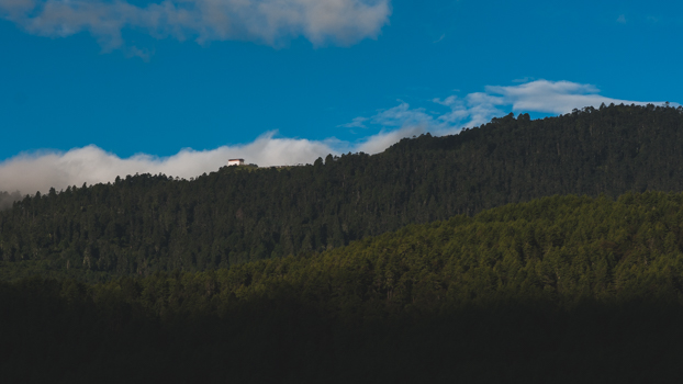
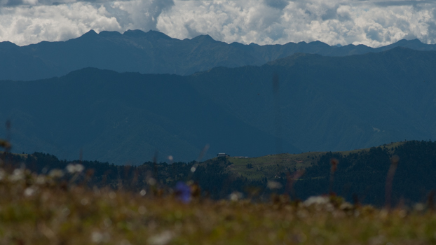
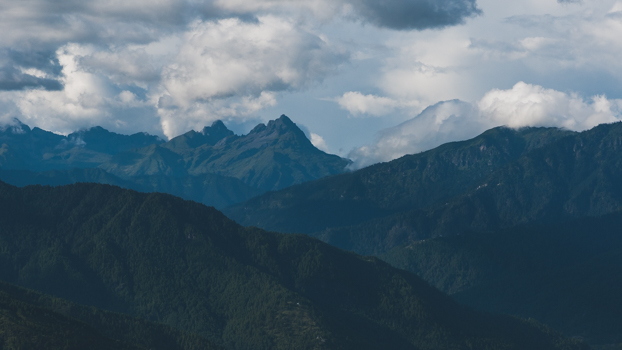
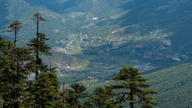
This trip combines the best of culture and outdoor adventure experiences. A mix of sightseeing and hiking through a 66 kilometer stretch from Haa to Thimphu on the newly born Trans Bhutan Trail. Hiking through deep coniferous forests and over passes that offer stunning vistas of valleys and snowcapped mountains. A walk on an ancient route with modern comforts.
The trail at a glance:
Trail Head: Katsho Village, Haa
Trail End: Kuenselphodrang, Thimphu
Total Distance: Approximately 66 kilometers
Highest Point: 4000 meters (Thaptsa Peak)
Total Elevation Ascent: Approximately 3750 meters
Total Elevation Descent: Approximately 3950 meters
Note: Sighting of flora and fauna is seasonal.
ITINERARY
Day 1: Arrival
Check into your hotel. Sightseeing around Paro.
Day 2: Paro
Acclimatization Hike to Taktsang Monastery.
Day 3: Transfer to Haa
Distance: 65km Drive Time: About 3 hours
Transfer to Haa over Cheleyla Pass. Sightseeing around Haa.
Day 4: Trek Day 1 : Katsho, Haa – Tsendona, Paro
Distance: 16.5 Kilometers
Pass: Kaylela (Approx. 3650 meters)
Start Elevation: Approx. 2850 meters
End Elevation: Approx. 2280 meters
Overnight at a hotel.
Day 5: Trek Day 2: Tsendona – Damchena, Paro
Distance: 16 Kilometers
Start Elevation: Approx. 2280 meters
End Elevation: Approx. 2790 meters
Overnight at a hotel.
Day 6: Trek Day 3: Damchena, Paro – Tshalunang, Thimphu
Distance: 15.5 Kilometers
Pass: Jehla Dzong diversion (Approx. 3400 meters)
Start Elevation: Approx. 2790 meters
End Elevation: Approx. 2850 meters
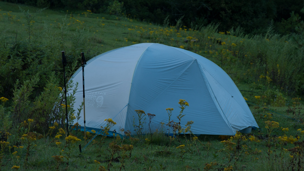
Overnight camping.
Day 7: Trek Day 4: Tshalunang – Kuenselphodrang, Thimphu
Distance: 18 kilometers
Pass: Pumola, Thaptsa Peak (Approx. 4000 meters)
Start Elevation: 2850 meters
End Elevation: 2750 meters
Overnight at a hotel.
Day 8: Thimphu
Sightseeing around Thimphu.
Day 9: Departure
Drive to Paro to catch your outgoing flight.

