Recommended Season: April to mid June, Late September to Late November
Maximum Elevation: Approximately 5000 meters
Difficulty: Challenging
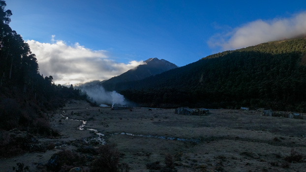
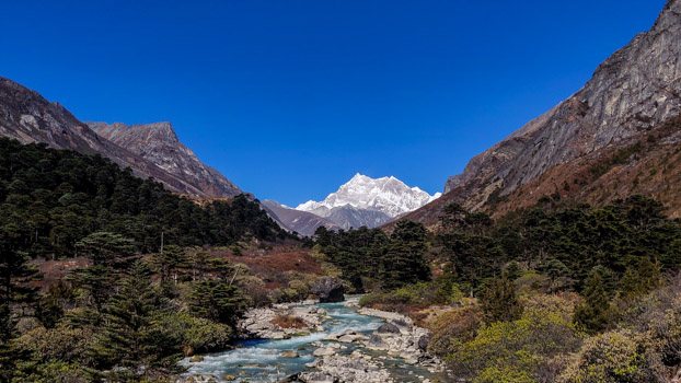
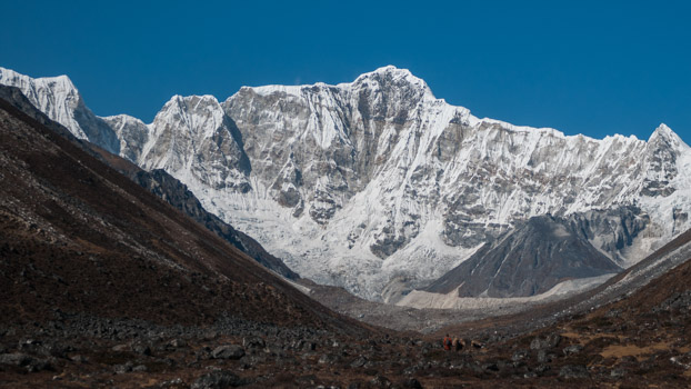
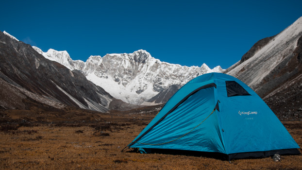
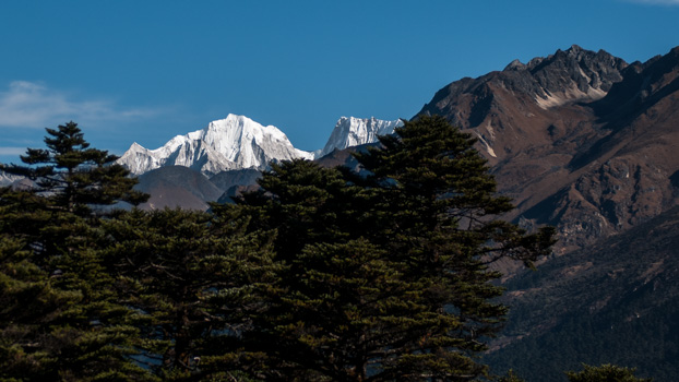
A true wilderness and unconventional trek to the base of the highest mountain in Bhutan. This challenging trek combines the Kangkar Puensuem southeast route with the Menla Karchung route into one and therefore takes longer than just doing the in and out trek to the SE basecamp. From the wide valley of Bamurpa, the basecamp, at 4400 meters, offers stunning views of the southeast summits and unobstructed views of Melunghi Kang. Bamurpa is also surrounded by 5 +5000 meters peaks if you are an intrepid trekker. One of the widest basecamps and stunning views if you ask us, even though the wind usually picks up strength around the afternoon.
The trek offers everything from pristine forest to alpine vegetation landscapes. The gain in altitude is gradual which makes it ideal for acclimatization as we get further into the trek and for those high altitude campsites.
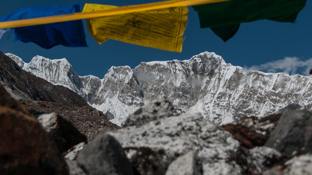
Highlights of the trek are seeing Kangkar Puensuem and her shouldering peaks up close, the landscape around Bamurpa (SE basecamp), Tsampa, Mela Karchung and Pamee Tsho and the overall experience of trekking in pure wilderness of central Bhutan.
Note: The sighting of the flora and fauna is seasonal.
Day 1: Arrival
Arrive at Paro airport. Transfer to Thimphu.
Day 2: Thimphu
Acclimatization hike to Phajodhing monastery and Thuji Dra. Prepare for the trek
Day 3: Drive to Bhumthang
The drive will take up most of the day. On average about 7-8 hours. Stops along the way.
Day 4:
Trek Day 1: Nasiphel to Kophu
Distance: Approximately 17 km about 7-9 hours. Campsite Altitude: Approximately 3200 meters.
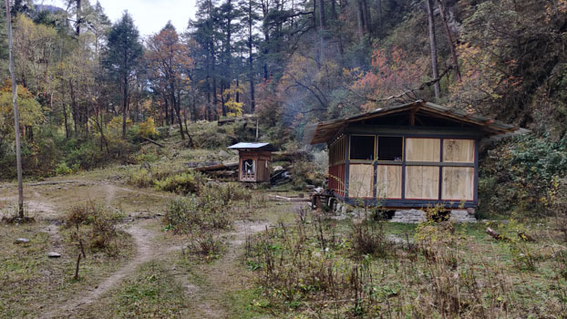
Start from the hotel early in the morning. The drive to the trailhead from your hotel will be a little about an hour. At the trail head we will meet our trekking crew and pack animals. After loading up the horses we are ready to commence our trek.
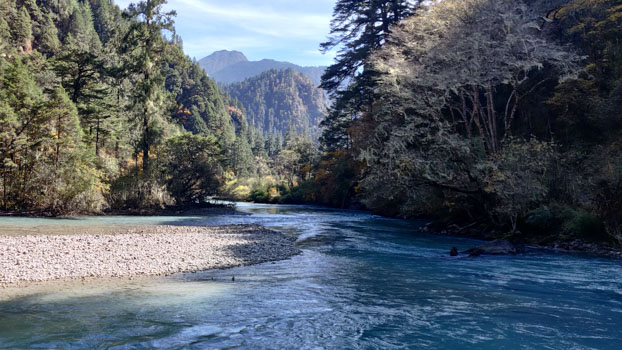
The walk today will entirely be along the Chamkhar chhu (river). Our campsite is on a small opening above the river
Day 5:
Trek Day 2: Kophu to Jiew Thangka
Distance: Approximately 18 km about 7-9 hours. Campsite Altitude: Approximately 4000 meters.
Continue following the Chamkhar Chhu for about 2 hours and we are finally out of the forest and into open grounds of alpine vegetation. From Tsampa, where there is an army outpost, we turn north and continue on crossing 2 yak herders camp. A hard challenging climb as we near the 3rd camp, Jiew Thangka our campsite for tonight.
Day 6:
Trek Day 3: Jiew Thangka to Bamurpa
Distance: Approximately 13 km about 5-6 hours. Campsite Altitude: Approximately 4450 meters.
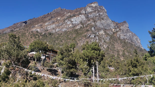
Sun reaches camp around 7:15. The trail gradually climbs out of the campsite. This section of the trail is notoriously well known for being rocky and uncomfortable to walk on amongst the local people here through forest of Fir, Juniper and Rhodhodhendron. If the weather is clear, before reaching Shiwa, the 4th herders camp, we will get our first proper view of the Kangkar Puensuem. After crossing the Shingu, the 5th camp, the valley open up once again and everything is far, wide and big here on out. Keep your eyes out for blue sheep grazing in pack on the side of the hills. Bamurpa is about 2-3 hours from here.
Day 7:
Trek Day 4: Explore and Rest
A slow start to the day depending on how the group is feeling and weather.
Explore the landscape around Bamurpa. We have an array of choices today.
Bamurpa is surrounded by 7, 5000 meters plus peaks. We can either cross the river and climb the ridge to the west or head closer towards Kangkar Puensuem to get a closer look.
We are spoilt for choices today.
Day 8:
Trek Day 5: Contingency Day
Keeping this extra day as a provision for bad weather, unforeseen events and circumstances. Also we can use this day to spend an extra day here at Bamurpa or at Chur Thang, whatever the group prefers.
Day 9:
Trek Day 6: Bamurpa to Tsampa
Distance: Approximately 18 km about 7-8 hours. Campsite Altitude: Approximately 3700 meters.
Retrace our way back to Tsampa.
Day 10:
Trek Day 7: Tsampa to Weitsang
Distance: Approximately 11km about 4-5 hours. Campsite Altitude: Approximately 4100 meters.
From Tsampa we take the trail that heads northeast. Along the river that connects with the one coming from Kangkar Puensuem to join forces to eventually make Chamkhar Chhu
Day 11:
Trek Day 8: Weitsang to Chur Thang
Distance: Approximately 9 km about 4-5 hours. Campsite Altitude: Approximately 4300 meters.
Day 12:
Trek Day 9: Explore and Rest
Visit Pamee Tsho (Lake) and explore the landscape around camp.
If the group is feeling adventurous we could also climb Menla Karchung la pass (5400 meters).
Day 13:
Trek Day 10: Chur Thang to Tsampa
Distance: Approximately 20 km about 7-8 hours. Campsite Altitude: Approximately 3700 meters.
Back to Tsampa
Day 14:
Trek Day 11: Tsampa to Saduk Suem
Distance: Approximately 10 km about 4-5 hours. Campsite Altitude: Approximately 4300 meters.
Continue on the same trail that brought us up.
Day 15:
Trek Day 12: Saduk Suem to Nasiphel
Distance: Approximately 10 km about 4-5 hours. Campsite Altitude: Approximately 4300 meters.
Exit day. Our bus will be at the site where it dropped us off 12 days ago.
Drive back to the hotel.
Day 16: Fly to Paro
Fly to Paro from Bhumthang.
Rest and relax at the hotel.
Day 17: Hike Tiger’s Nest
Hike up to the famous Paro Taktshang.
Day 18: Departure
Bid Bhutan farewell

